Camera, sensor, drone data lights up disaster response

Bloomberg Creative/Getty Images

Connecting state and local government leaders
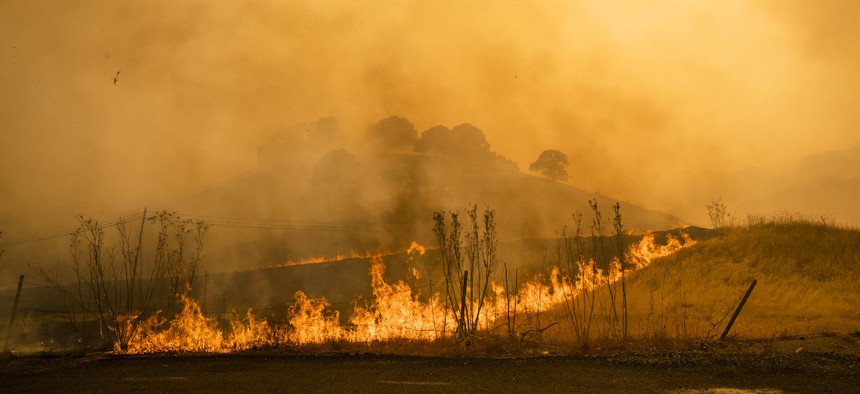
ALERTCalifornia’s network will provide actionable natural disaster data for public safety agencies and researchers responding to wildfires, floods, landslides and other climate-driven events.
A network of more than 1,000 pan-tilt-zoom cameras and sensor arrays in California will deliver critical data to public safety agencies to help them better prepare effective, timely emergency responses to natural disasters.
The wireless camera network, developed by the University of California San Diego, will enable advanced data collection and processing to support natural disaster prevention, response and mitigation plans, UCSD officials said in a May 3 announcement. Using the network, scientists can also study the impact of major weather events on human health and on water, air and soil quality.
The cameras provide 24-hour monitoring with views up to 120 miles on a clear night, officials said. Some cameras feature infrared technology that can detect hotspots and flare-ups through smoke cover.
The network will serve the newly launched public safety program ALERTCalifornia, which is a collaboration of private- and public-sector organizations such as the California Governor’s Office of Emergency Services, the Natural Resources Agency and the Department of Forestry and Fire Protection (CAL FIRE).
Drones and aircraft teams equipped with lidar and hyperspectral imaging capabilities also contribute to ALERTCalifornia’s data. For instance, aerial technology can track forests’ health indicators such as biomass and moisture content to further understand wildfire behaviors. Throughout 2023 and 2024, ALERTCalifornia aims to collect more than 70,000 miles of lidar and multispectral data, according to the announcement.
“ALERTCalifornia advances novel remote sensing, data synthesis and processing as well as modeling and simulation techniques, creating a proverbial big-data firestorm,” said Falko Kuester, the program’s co-lead. “Our work informs the creation and use of a large-scale digital-twin of California that aggregates the different sensor streams and provides a means to study them, turning data into insights, knowledge and action.”
ALERTCalifornia offers a mobile-friendly public website interface where emergency management personnel can view real-time camera footage. The program also established command and control centers for federal, state, regional and local first responders to manage the cameras, according to the announcement.
Insights from the cameras will enhance “community wildfire resiliency, forest health monitoring, public outreach, as well as [provide] crucial early situational awareness for aggressive fire response,” said CAL FIRE San Diego County Unit Chief Tony Mecham. That increased situational awareness enables responders to quickly confirm and monitor fire ignition, scale firefighting resources and support efficient evacuations.
ALERTCalifornia’s open-source data can also be used to model climate events to prepare for future natural disasters, officials said. For example, researchers can use the data to compare fire detection computer models and test machine learning with wildfire examples recorded by the cameras. The information is accessible to government agencies, utilities and the general public, the announcement said, in an effort to increase citizen engagement and innovation.
“The program will spawn invaluable research and mitigation plans that will increase the state’s resiliency towards the new extreme fire risk,” said Neal Driscoll, ALERTCalifornia director and UCSD geoscientist. “Data acquired in the highest fire-threat regions will significantly empower firefighters, first responders, legislators, city planners and scientists for years to come.”

NEXT STORY: State and local agencies weigh procurement outsourcing


