Mapping Local Nutrient Pollution Through Citizen Science

Photografeus / Shutterstock.com
The feds are engaging high school students to analyze water quality near the Great Lakes and Chesapeake Bay.
States encompassing the Great Lakes Basin and Chesapeake Bay watersheds worry about nutrient pollution affecting local water quality, so the federal government launched a high school citizen science initiative to map the problem.
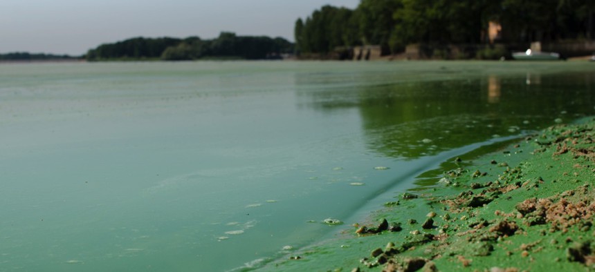
Agricultural and urban fertilizer runoff, city sewage treatment and carbon emissions contribute to nutrient pollution—high levels of nitrogen and phosphorous in water—which causes algal blooms and hypoxia.
So the Environmental Protection Agency and U.S. Geological Survey concocted Visualize Your Water, a contest asking students to geographically analyze local water quality using open government data sources and propose nutrient management solutions.
“Science helps us understand how the world works. Geography helps us illuminate, recognize, and make sense of the patterns and relationships,” said Charlie Fitzpatrick, Esri education director, in an email. “Investigating personally helps us notice and pay closer attention to the intricacies, nuances, and complexities, across the scales from very local to grand.”
Redlands, California-based geographic technology company Esri made its online mapping software, ArcGIS, available to all competitors. Students can view data using the geographic information systems, and a number of states and locales have posted relevant numbers as well.
Citizen science revolves around the idea that more people gathering data under wider conditions generates an increasingly realistic picture of a situation.
Visualize Your Water is a follow-up to the EPA and USGS’ Visualizing Nutrients Challenge and targets high schoolers, specifically, to get them thinking critically around the issue of nutrient pollution. A Web-based map is required of all submissions, so each student will hone his or her ability to present geographic data.
Students must choose a region for their investigation, but because watersheds and state boundaries don’t align, they can pick any area as long as it’s in their state and that state is one of the 15 eligible. Those states were selected based on their proximity to the Great Lakes Basin or Chesapeake Bay.
Projects can be done in or out of class, but cooperating teachers must submit all entries—the deadline for which is 8 p.m. EST on March 1. The challenge began Jan. 13, and the grand prize is $2,500.
“The hope is that many more people will grasp the significance of nutrient pollution and work to address it,” Fitzpatrick said.
Complete challenge rules can be found here.
Dave Nyczepir is a News Editor at Government Executive’s Route Fifty.
NEXT STORY: Revenue Is Up in Most States; But Weak Forecasts Prompt Caution


