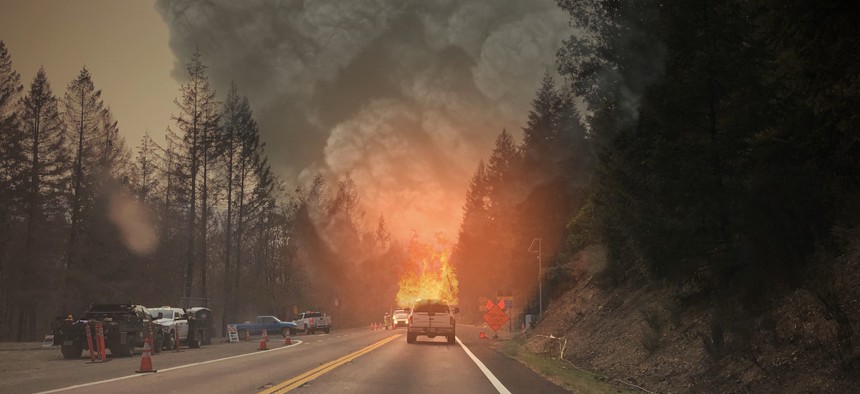
Researchers demo geotargeted wildfire alerts sent to vehicles

MichaelPenhallow/Getty Images
The Department of Homeland Security is testing how remote sensors and public warning systems can deliver timely, actionable wildfire alerts to the public.
In all recorded history, the 10 hottest years have all occurred since 2010, according to the National Oceanic and Atmospheric Administration. It doesn’t stop there. A report released last month by the World Meteorological Organization projects global temperatures to reach record levels in the next five years.
“These increasing temperatures cause significant rise in drought conditions,” said William Pharis, assistant director of the Department of Homeland Security’s Science and Technology Directorate, at a June 27 event in Stafford County, Virginia, to showcase a new wildfire alert system being developed by S&T.
What Pharis called a “thirsty” atmosphere is not one “that’s looking for a date. That’s an atmosphere that has significant evaporative conditions that causes the terrain around it to be more combustible."
As a result, land will burn faster and hotter, threatening the safety of residents, infrastructure and wildlife. Areas in wildland urban interfaces, or WUI, which the U.S. Fire Administration defines as “the line, area or zone where structures and other human development meet or intermingle with undeveloped wildland or vegetative fuels,” are especially at risk because of their close contact with combustible terrain.
To give communities a leg up in the fight against wildfires, S&T is testing the integration of remote sensor technologies designed to identify wildfires and floods with emergency alerts sent to vehicle infotainment dashboards and mobile apps. The system uses the Federal Emergency Management Agency’s Integrated Public Alert Warning System Open Platform for Emergency Networks, or IPAWS-OPEN, an IP-based network that routes messages from federal, state and local emergency management officials to public alerting systems.
Under the current development phase, alerts are integrated into IPAWS-OPEN for geotargeted distribution through the navigation app Waze, which ensures that notifications are only sent to relevant devices in the affected area. Vehicles that are produced by the automaker Stellantis, such as Chrysler and Dodge models, can receive dashboard notifications, S&T Program Manager Norman Speicher told Route Fifty.
Alerts are sent to devices within a limited geofence, or a virtual boundary, to prevent desensitizing users with excessive notifications or sending alerts to incorrect locations, Speicher said. If successful, unattended sensors could trigger emergency weather alerts, and users may also be advised to flee or avoid traveling toward a certain area.
A major advantage of advanced alert networks is that they can help first responders plan for and respond to weather crises more efficiently, IPAWS Director Antwane Johnson said. For instance, if most community members knew to evacuate or prepare for a wildfire by themselves, first responders could prioritize their time and resources on places and people that need more immediate attention.
“This is a very important initiative … to get [people] timely information to allow them to make an informed decision to protect either life, safety or their property, Johnson said.
Tuesday’s event hosted at the Stafford County Training and Logistics Center demonstrated the project’s progress. Within the center’s fenced yard, officials set fire to a prop situated near unattended sensors. The fire eventually grew big enough for the sensors to detect the flames and activate alerts on attendees’ Waze apps as well as on the dashboard of a demo car that drove in and out of the alert’s geofence.
The alert system demonstration signals the federal government’s commitment to “providing emergency management managers with innovative solutions to overcome the growing WUI landscape and bridge the gap between time-sensitive, lifesaving information and an evermore navigation-reliant public,” Speicher said.
Officials did not provide a date when the alert system would be ready for real-world use.


